Your Trusted Partner in Mapping, Remote Sensing, and Spatial Analysis
Trusted Geospatial Partner for Environmental, Agricultural, and Urban Projects.
We change the market rules
With every project, we prove the value of working with a dedicated geospatial team.
We help clients—from NGOs to governments—turn complex spatial data into clear, actionable solutions that drive smarter, more sustainable decisions.
Delivering Geospatial Value from Data Collection to Decision-Making.
01.
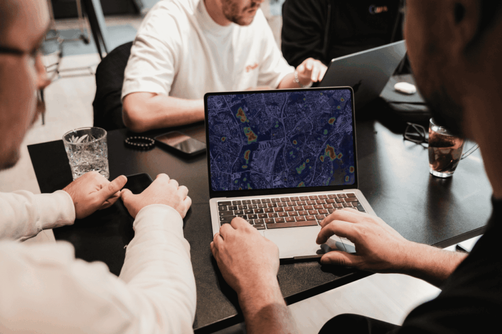
Data Acquisition
02.
Spatial Analysis & Mapping
03.
Insight Delivery & Support
We are experts in delivering geospatial solutions.
News and Insights.
Mapping Africa’s Future: How Geospatial Solutions Are Driving Sustainable Development
Frequently Asked Questions.
What services do you provide?
We provide mapping services, data analysis, land use/land cover studies, suitability analysis, hotspot analysis for business and environment, soil and water studies, and custom GIS solutions.
Can you work with clients remotely?
Yes. we work with clients fully online, so you can be anywhere in the world and still get our support.
Who can benefit from your services?
Farmers, businesses, researchers, NGOs, city planners, and anyone who needs location-based insights can benefit.
Do I need to understand GIS or Remote Sensing before working with you?
No. We make the process simple and easy to follow. You only need to share your goal, and we will handle the technical side.
Which tools do you use?
We work with trusted tools like ArcGIS, QGIS, Google Earth Engine, Python, R, and satellite data such as Sentinel and Landsat.
Can you take on both small and large projects?
Yes. Whether it’s a small study or a bigger mapping project.
How do you share results?
You will get clear maps, reports, or interactive visuals that make it easy to understand the findings and communicate results to the target audience.
Do you offer training?
Yes. we provide simple training in GIS and Remote Sensing for individuals and teams who want to learn.
How can I get started?
You can contact us through the contact form or email. Share your idea or problem, and we will discuss further.
What makes your consultancy different?
We focus on practical solutions that connect maps and data to real problems, especially in environmental, agricultural, and business decision-making.